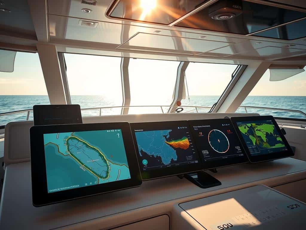
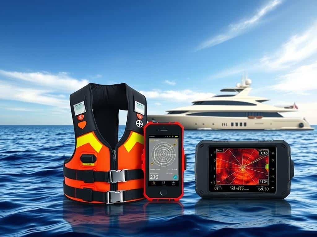
During my last sailing trip, thick fog rolled in, making it hard to see. I used my smartphone’s smart navigation tools to find my way. Modern boating technology helped me access real-time maps and alerts, lighting up my path.
This experience showed me how important these tools are for safety at sea. They are great for both new and experienced sailors. They make sailing safer and more fun by reducing stress.
Key Takeaways
- Smart navigation tools are essential for safe boating experiences.
- Technological advancements help prevent accidents on the water.
- Access to real-time data improves decision-making while navigating.
- User-friendly interfaces enhance mariner confidence and ease.
- Leveraging smart navigation can transform boating adventures for the better.
Understanding Smart Navigation Tools for Maritime Safety
As a mariner, I’ve seen how smart navigation tools have changed maritime safety. These tools include electronic devices and apps that make navigation easier and safer. With marine GPS and autopilot, planning routes is now much simpler.
What Are Smart Navigation Tools?
Smart navigation tools help us navigate waterways by providing vital information. They include marine GPS, advanced chart plotters, and mobile apps. Each tool is essential for safe and efficient travel on water.
Importance of Smart Navigation in Modern Boating
Smart navigation is vital in today’s boating world. It helps reduce risks like collisions and groundings with real-time data. These tools help me make better decisions while navigating, ensuring safety at sea.
Key Features to Look For in Smart Navigation Tools
When choosing smart navigation tools, look for certain features. They should integrate with other marine instruments and work offline. They should also allow sharing of local knowledge, which helps keep me safe on the water.
Smart Navigation Tools That Enhance Your Sea Experience
When I’m out on the water, having good tools is key for a great time. Marine navigation apps have changed how I navigate, making my phone a must-have chart plotter. Aqua Map, iNavX, and OpenCPN are my top picks.
Popular Marine Navigation Apps
Marine navigation apps have really changed boating. They make it easier to navigate, safer, and more efficient. I’ve tried many, each with its own special features.
Aqua Map: Comprehensives Features for Safety
Aqua Map is great for its offline charts, letting me navigate without internet. It also gives me real-time weather updates. Plus, it lets me share data with other boaters, keeping me safe.
iNavX: Seamless Integration and User Experience
iNavX is my go-to for its easy connection with charts. It has GPS tracking and real-time tools. Its simple design lets me enjoy my time on the water more.
OpenCPN: A Trusted Open-Source Solution
OpenCPN is my reliable choice for navigation. It has everything from weather updates to route planning. Its community support and updates make it trustworthy for me.

Conclusion
Smart navigation tools are key for better boating safety and efficiency on the water. With new tech, like marine GPS and autopilot, my sea trips will be safer and more fun. Knowing how to use these tools means I’m ready for a great time on the water.
Learning about these tools helps me understand maritime safety better. It also helps me connect with other boaters. Whether I’m sailing in places I know or exploring new ones, the right tools make a big difference.
By using the latest in navigation tech, I can enjoy sailing safely. Smart tools make my sailing smoother, leaving time for fun and discovery on the water.


