As I prepared for my weekend escape to the coast, I felt a mix of excitement and worry. My boat was ready, and I trusted my GPS chartplotter to guide me. Navigating the waterways is different from driving on land. Each point on my electronic charts made me feel secure, knowing I was on the right path.
Choosing the right GPS chartplotter could make my journey smooth. I wanted to know what features would improve my navigation. This was my goal as I explored the options.
Key Takeaways
- GPS chartplotters are essential for navigating waterways safely.
- They differ significantly from standard car GPS systems.
- Important features include screen size, integration, and type of waterways.
- Understanding your budget is key in picking the right model.
- Electronic charts offer accuracy in marine environments.
Understanding GPS Chartplotters
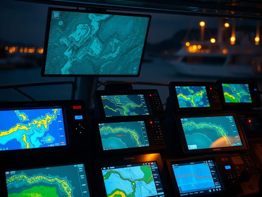
A GPS chartplotter is key for navigating waterways. It uses advanced tech and easy-to-use interfaces. This helps sailors get to their destinations safely and quickly. It also shows detailed marine maps and charts, improving navigation and awareness on the water.
What is a GPS Chartplotter?
A GPS chartplotter is a device for navigating boats. It shows where the boat is on the charts. It lets users plan routes, check speed, and watch out for underwater dangers.
It’s great for both new and seasoned boaters. It offers detailed electronic charts. These charts can be raster or vector-based, helping with complex routes on different waters.
Differences Between GPS Chartplotters and Car GPS
GPS chartplotters and car GPS systems are different. Car GPS focuses on road navigation, dealing with traffic and roads. But, GPS chartplotters are made for water navigation.
They handle things like tides, currents, and underwater changes. These factors can affect a boat’s journey. This makes them essential for safe travel in tough waters.

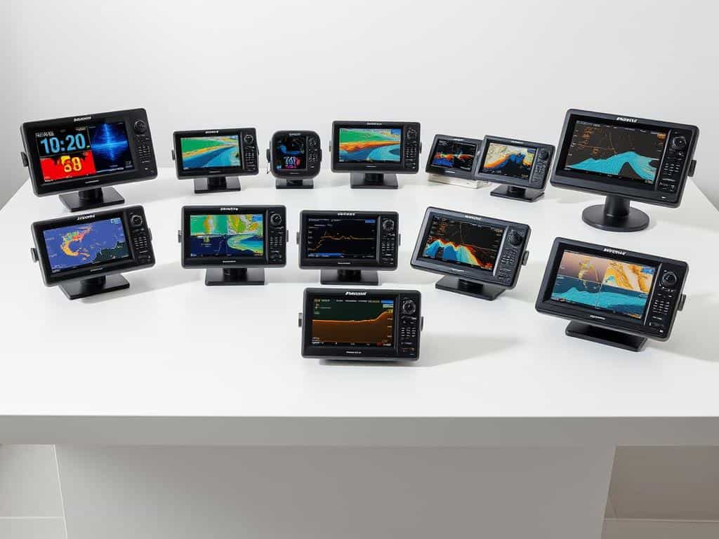
Essential Features to Consider in GPS Chartplotters
Choosing the right GPS chartplotter is key to a great boating experience. It’s important to look at features that help with navigation and safety. Being able to connect with other marine electronics is a top priority for me.
Integration with Other Marine Electronics
Many GPS chartplotters can connect with other marine gear. This includes autopilot, radar, sonar, and AIS. Such connections improve safety and make boating easier.
Screen Size and User Interface
The size of the screen matters a lot. I prefer bigger screens for better visibility. The interface should be easy to use, so I can focus on the journey.
Budget Considerations
My budget is a big factor in choosing a GPS chartplotter. There are many options, from basic to advanced. Knowing my budget helps me find the right one without spending too much.
Type of Waterways
The waterways I sail on affect my GPS choice. Offshore boating needs more advanced features than inland. I need to pick a model that fits my waterway adventures.
Conclusion
Understanding GPS chartplotters is key for better navigation on the water. It’s important to check if they work with other marine gear, pick the right screen size, and stay within budget. A good GPS chartplotter is more than fun; it’s a safety must-have.
Using top-notch navigation tech makes boating better and safer. Every trip becomes more fun and secure. Knowing what to look for in GPS chartplotters leads to safer and more efficient travels.


